
GIP-P WP 6, which deals with the development of the user oriented functions has recently made a new version of the Administration module that allows uploading data and documents to the EGDI platform (https://data.geus.dk/egdiadmin).

What’s the Administration module?
The Administration module is a web tool that allows registered users (currently members of the different GeoERA projects) to upload data to the EGDI platform, so that these data can be discovered, queried and displayed in different ways, depending on the format and type of information. The data types that can be uploaded with this tool include:
- Unstructured data as PDF files, pictures or DOI references to documents.
- Spatial data. The EGDI platform supports two of the most widespread vector formats in the GIS community: Shapefiles and Geopackages. Georeferenced images can also be uploaded in GeoTIFF format, a standard which allows georeferenced information to be embedded within a TIFF file. In addition, raster files and surfaces can be uploaded in formats like .asc, .grd, .obj, .ts or .xyz and the database can also handle real 3D objects as closed volumes.

The list of formats from which information can be imported from, will be expanded with time.
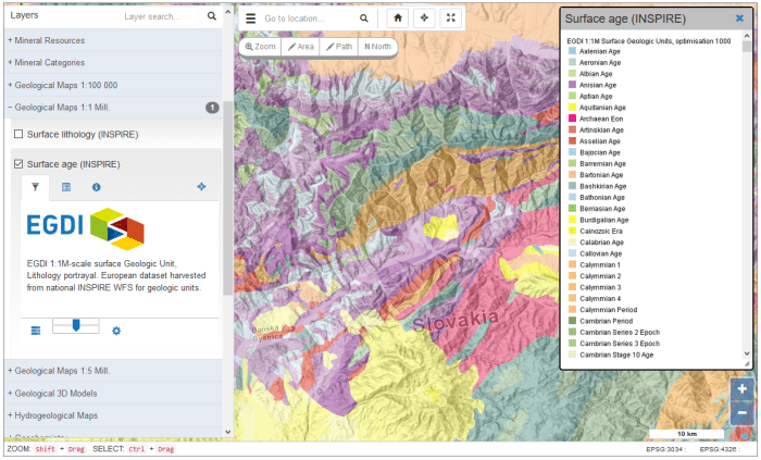
In addition to uploading information, registered users can decide how the data they provide will be displayed on the platform. To do so, users can define as many maps as they like, and set their title, description and layers that make up the map. The maps created produce instances of the available EGDI GIS Viewer, whose functionality and user interface can be found at https://data.geus.dk/egdi/?mapname=egdi

On every map, different layers can be combined into groups and sub groups. Thus, it is possible to create a hierarchy of layers on the map. The user can define the symbology of each layer, turning them on or off, and can modify the transparency.
What are the new features?
The new and most important functionalities in the administration module version just released are:
Licence types have been added to uploaded documents. Licences give data providers a simple, standardized way to grant copyright permissions to their work. In EGDI the licences that has been agreed upon are : the six Creative Commons ones besides the Public Domain.


- GeoTIFF datasets can now be uploaded. TIFF format is, nowadays, a widely accepted and versatile raster data format in the world. The TIFF is suitable for storage, transfer, display, and print raster images such as clipart, logotypes, scanned documents etc. Moreover, TIFF imagery file format can be used to store and transfer digital satellite imagery, scanned aerial photos, elevation models, and scanned maps. GeoTIFFs are TIFF files that contain spatial reference information; so this format allows locating the image on the EGDI GIS Viewer, in the correct position and with the right geometry.
- It is now possible to upload dataset without a label
- Now a default color ramp is applied for styling raster layers. A color ramp is a series of continuous or discrete colors that can be applied to raster or vector data values
For further information, we also have updated the user guide of the Administration module: http://egdi-public.gitlabpages.geus.dk/egdi-documentation/#/main-content/AdministrationModule
Here you can read about delivering unstructured data to the platform:http://egdi-public.gitlabpages.geus.dk/egdi-documentation/#/main-content/AdministrationModule?id=delivering-spatial-data
And here you can read about uploading spatial data. http://egdi-public.gitlabpages.geus.dk/egdi-documentation/#/main-content/AdministrationModule?id=delivering-spatial-data
Finally, the GeoTIFF functionality is described here:http://egdi-public.gitlabpages.geus.dk/egdi-documentation/#/main-content/AdministrationModule?id=upload-geotiff